Alison Duvall, University of Washington associate professor of Earth and Space Sciences, is working to understand how climate and climate change might affect the frequency, severity and downstream impacts of landslides, and bring what she learns to community partners working to reduce risk in vulnerable places.
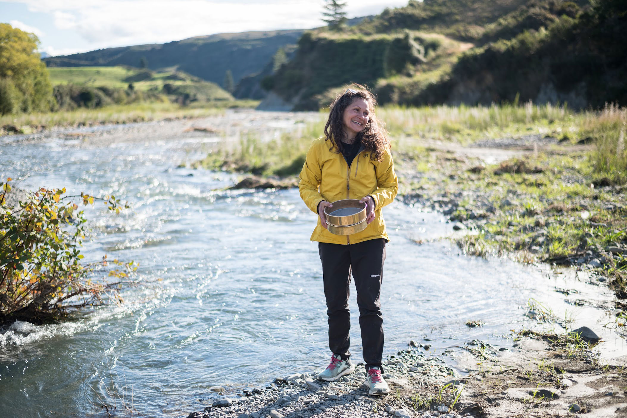
When Alison Duvall looks at a mountain, she sees a story about our ever-changing world. A tectonic geomorphologist, she studies the Earth’s surface and the processes that affect it. Her research focuses on places where tectonic plates ram into each other, uplifting mountains and triggering erosion processes such as landslides. The mountain ranges, river valleys and geographic formations that we see today result from many millions of years of tectonic activity.
“If you can read the landscape, you can extract information about events that happened thousands or millions of years ago,” Duvall said. “A lot of my work is theoretical, like using new technology to uncover information about the history of landslides in an area – which can help us project future landslide risks for people who live and work nearby.”
Over the course of her academic career, Duvall has worked to connect her research to the challenges that face people living in high-risk regions.
“I want to make sure that what we study makes its way into communities who need this information, because it’s anything but theoretical if you live near a slope that might destabilize after a quake,” she said.
And it’s not only earthquakes that threaten human lives. As Earth’s climate changes, so do the factors that influence erosion processes. In 2014, a devastating landslide swept across the north fork of the Stillaguamish River near Oso, Washington, killing 43 people. No earthquake preceded the slide, but subsequent research by College of the Environment and College of Engineering scientists found that the collapsed hillside had been saturated and destabilized by heavy, intense rain in the months preceding the disaster. Additionally, Duvall’s team developed new remote sensing methods to estimate the age and frequency of severe landslides that have occurred across thousands of years.
“If you look at our map, you can start to see that the entire section of the north Stillaguamish is littered with huge landslides, some even bigger than Oso. That information will ultimately help us to understand the future risk for people in the valley, which I hope will help us prevent the loss of life that we witnessed in 2014. But first, you have to get the right data to the right people,” Duvall explained.
The knowledge gap between scientists and communities is one that Duvall is dedicated to closing. She points to the Cascadia Coastlines and Peoples Hazards Research Hub, or CoPes, as an example of what strong community-based science can achieve. CoPes brings together scientists and engineers with community leaders, social scientists, emergency managers, planners and communicators to help coastal communities be prepared for hazard events like earthquakes, landslides and tsunamis.
“CoPes has been really, really exciting because we are doing important work in service to community and pushing the boundaries on the science, too,” Duvall said. “We’re modeling the potential erosion events that could flow from the next Cascadia earthquake, the next Seattle earthquake, and learning so much from our work.”
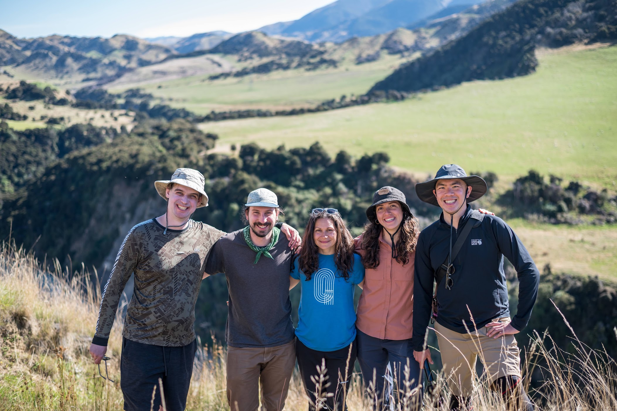
In addition to research and community co-learning, Duvall also works to inspire the next generation of Earth scientists as a teacher and mentor. Her graduate students work around the world, including in Chile’s Atacama Desert and New Zealand. Whenever possible, Duvall secures funding to take her students and postdoc into the field together; her community-building has resulted in a group of students who proactively collaborate with each other.
“I get a special kind of joy out of mentorship,” Duvall said, citing its origins in her own experiences as a PhD student conducting field research on the Tibetan Plateau. “I got so much from the other graduate students in my research group. In some ways, we mentored each other, and I get so excited when I find my students are meeting together on their own.”
Her students, in turn, offer opportunities for Duvall to continue her own learning. In 2023, Duvall joined doctoral student Tamara Aránguiz for field work in the Atacama, the driest place on Earth.
“I’ve never worked in a high desert environment like that – I felt like I was on Mars!” Duvall said, her face lighting up as she described exploring a field site where everything was new to her. “You can see the faults with the most astonishing clarity, and even the soils are different from anything I’d seen. It’s incredible getting to walk around thinking, ‘I don’t know how any of this works.’”
While she emphasizes that it’s possible to work as a geologist anywhere in the world, Duvall said her experiences are enriched by being part of the community she studies. “It’s been fulfilling to do research projects in communities where I’m a community member, too. I’ve experienced the things that I’m studying, and that’s really amazing.”