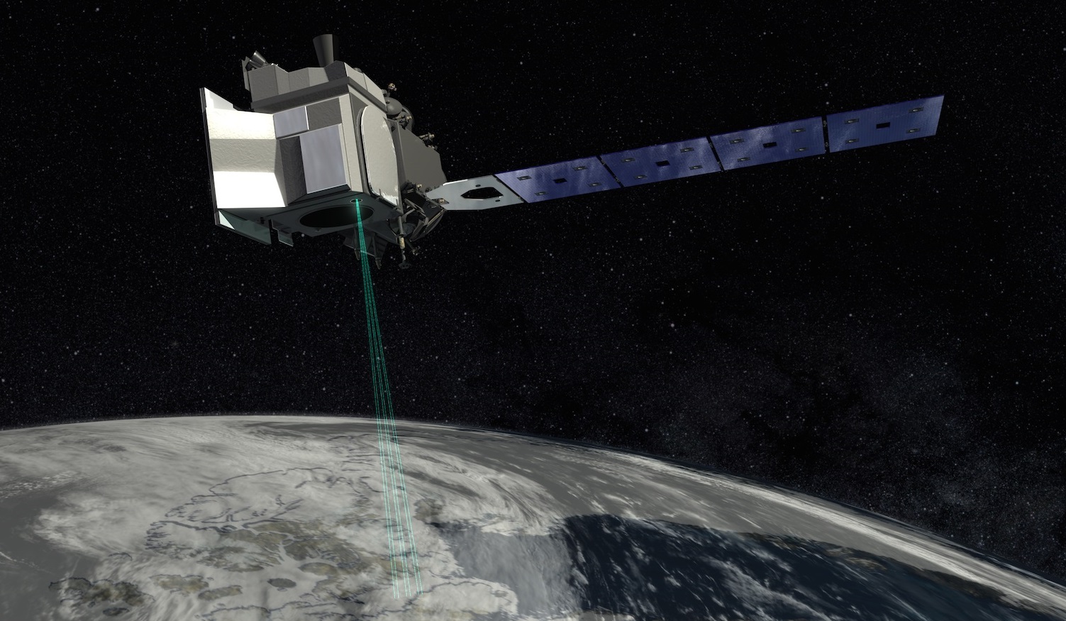
NASA launched a new satellite this month that will measure elevation changes on Earth with unprecedented detail. In the air, it will track shifts in the height of polar ice, mountain glaciers and even forest cover around the planet.
Two University of Washington polar scientists — Jamie Morison, a polar oceanographer at UW’s School of Oceanography, and Benjamin Smith, a glaciologist at the Applied Physics Lab — advised the ICESat-2 mission that launched Sept. 15 from California’s Vandenberg Air Force Base. UW researchers provided expertise in two areas of intense interest for long-term tracking: massive glaciers covering Antarctica and Greenland, and sea surface height in the Arctic and other oceans.
“For the oceans, ICESat-2 will yield fine-scale measurements that are important to coastal oceanography, revealing smaller features in the open ocean and even down to the characteristics of larger surface waves,” Morison said. “ICESat-2 will also help measure sea-level change, particularly at high latitudes where the most established radar altimeters don’t go, and it will give us higher-resolution measurements of the sea surface slopes that drive changing ocean circulation.”
Read more at UW Today »