Until recently, glaciers in the United States have been measured in two ways: placing stakes in the snow, as federal scientists have done each year since 1957 at South Cascade Glacier in Washington state; or tracking glacier area using photographs from airplanes and satellites.
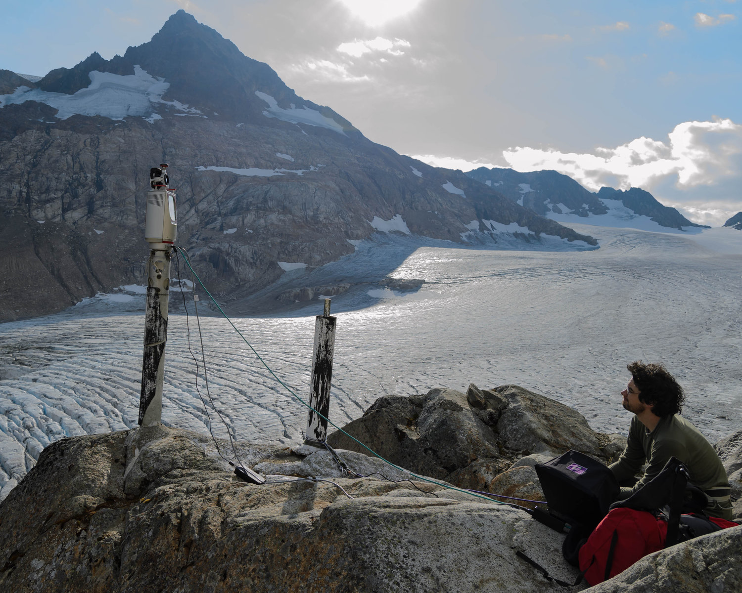
We now have a third, much more powerful tool. While he was a doctoral student in University of Washington’s Department of Earth and Space Sciences, David Shean devised new ways to use high-resolution satellite images to track elevation changes for massive ice sheets in Antarctica and Greenland.
In 2012, he asked for satellite time to turn digital eyes on glaciers in the continental U.S., and has since collected enough data to analyze mass loss for Mount Rainier and almost all the glaciers in the lower 48 states. He will present results from these efforts Oct. 22 at the Geological Society of America’s annual meeting in Seattle.
“I’m interested in the broad picture: What is the state of all of the glaciers, and how has that changed over the last 50 years? How has that changed over the last 10 years? And at this point, how are they changing every year?” said Shean, who is now a research associate with the UW’s Applied Physics Laboratory.
Read more at UW Today »