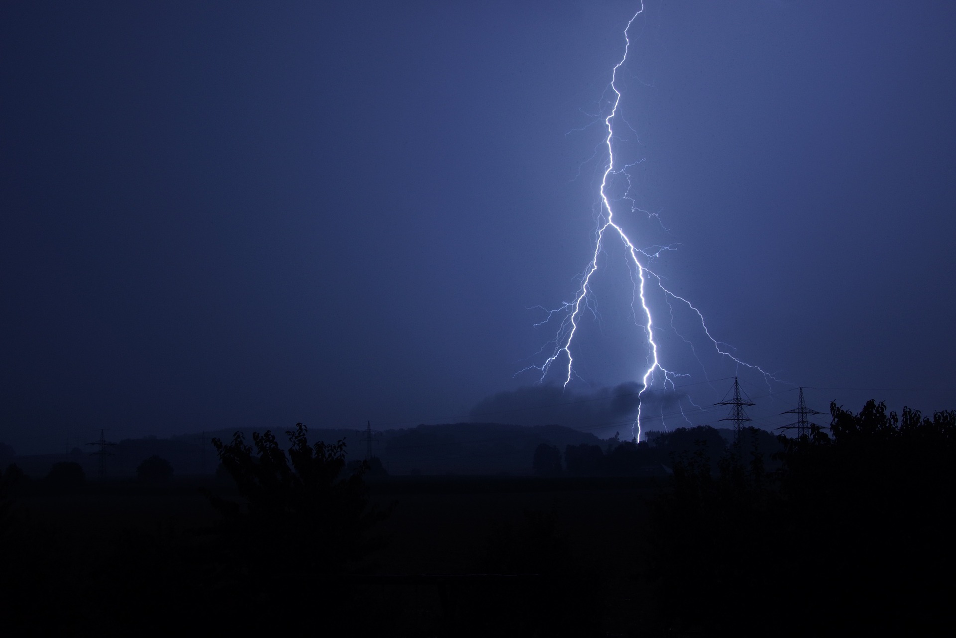
Humans have always been frightened and fascinated by lightning. This month, NASA is scheduled to launch a new satellite that will provide the first nonstop, high-tech eye on lightning over the North American section of the planet.
University of Washington researchers have been tracking global lightning from the ground for more than a decade. Lightning is not only about public safety — lightning strike data have recently been introduced into weather prediction, and a new UW study shows ways to apply them in storm forecasts.
“When you see lots of lightning, you know where the convection, or heat-driven upward motion, is the strongest, and that’s where the storm is the most intense,” said co-author Robert Holzworth, a UW professor of Earth and space sciences. “Almost all lightning occurs in clouds that have ice and where there’s a strong updraft.”
The recent paper, published in the American Meteorological Society’s Journal of Atmospheric and Oceanic Technology, presents a new way to transform lightning strikes into weather-relevant information. The U.S. National Weather Service has begun to use lightning in its most sophisticated forecasts. This method, however, is more general and could be used in a wide variety of forecasting systems anywhere in the world.
Read more at UW Today »