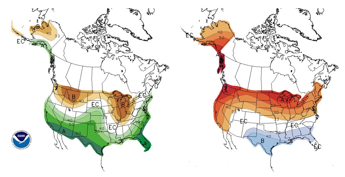
What some have called the “Godzilla El Niño” is now lumbering ashore, right on schedule. El Niño tends to influence North American weather after the first of January, and indeed, we’re seeing warm temperatures in Alaska and much-needed rain in California.
University of Washington researchers are tracking what the season will deliver to the Pacific Northwest region.
For Washington, El Niño typically brings warm, and often dry, winter weather. That may seem surprising, since the state just experienced a very wet December, according to the latest monthly weather report from the UW-based state climatologist’s office. Many places broke previous records for the month. But that precipitation does not seem to be linked to El Niño.
“We were very fortunate, from a water-supply point of view, to get all that lowland snow and mountain rain when we did, because that’s not always the case during El Niño,” said Nick Bond, Washington’s state climatologist and a researcher with the UW-based Joint Institute for the Study of the Atmosphere and Ocean.
Read more at UW Today »