The large, fast-moving mudslide that buried much of Oso, Washington in March 2014 was the deadliest landslide in U.S. history. Since then it’s been revealed that this area has experienced major slides before, but it’s not known how long ago they occurred.
University of Washington geologists analyzed woody debris buried in earlier slides and used radiocarbon dating to map the history of activity at the site. The findings, published online Dec. 22 in the journal Geology, show that a massive nearby slide happened around 500 years ago, and not thousands of years ago as some had believed.
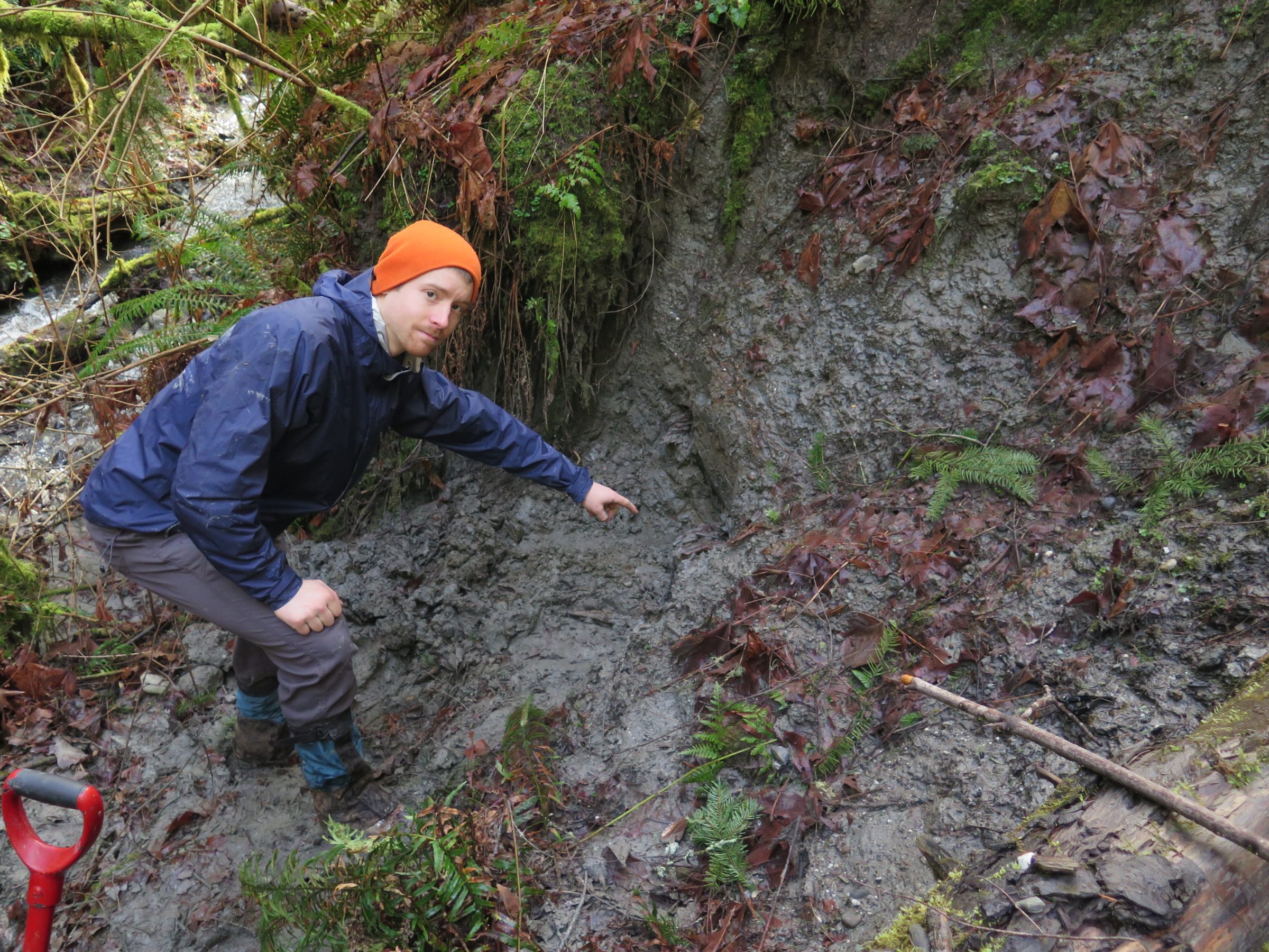
“The soil in this area is all glacial material, so one hypothesis is the material could have fallen apart in a series of large landslides soon after the ice retreated, thousands of years ago,” said corresponding author Sean LaHusen, a UW doctoral student in Earth and space sciences. “We found that that’s not the case — in fact, landslides have been continuing in recent history.”
The study establishes a new method to date all the previous landslides at a particular location. The method shows that the slopes in the area around Oso have collapsed on average once every 500 years, and at a higher rate of about once every 140 years over the past 2,000 years.
“This was well known as an area of hillslope instability, but the question was: ‘Were the larger slides thousands of years old, or hundreds of years old?’ Now we can say that many of them are hundreds of years old,” said co-author Alison Duvall, a UW assistant professor of Earth and space sciences.
Read more at UW Today »